Beeston Regis, Norfolk
 This is a stub. More to be added.
Geological Field Guide to Beeston to West Runton, Norfolk
Click on an image to see a large image in your default image viewer.
Coastal views
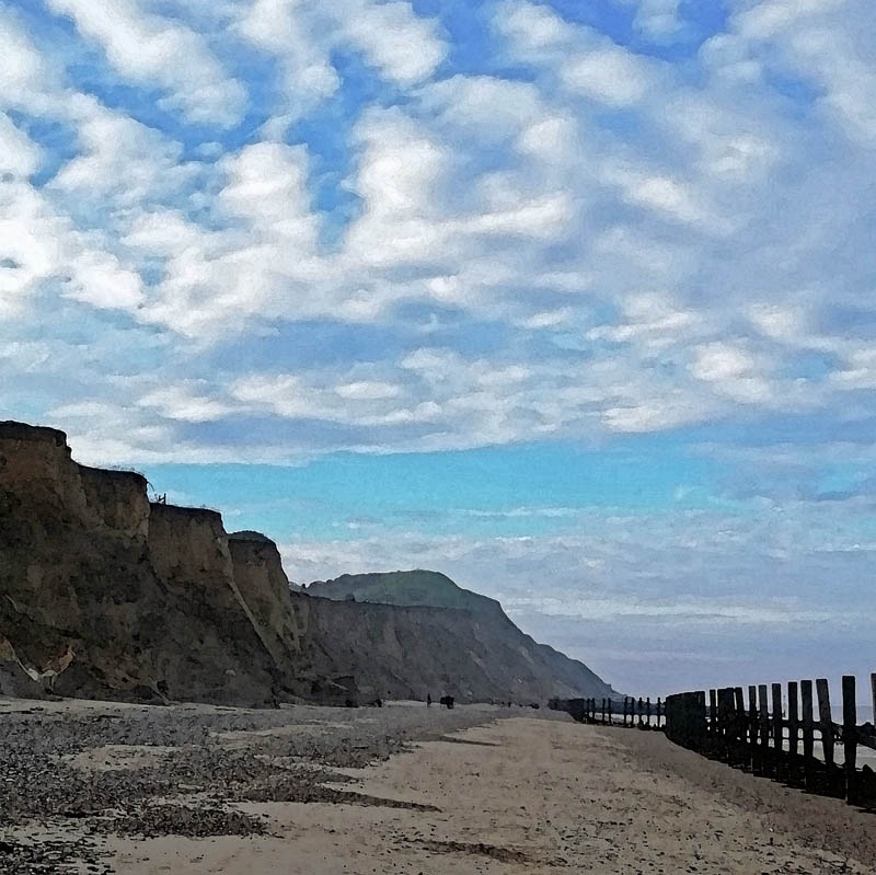
| Beeston Hill, affectionately known as Beeston Bump is a glacial feature which sits right ontop of the sediments of a former lake bed. Now both are being eroded away by the sea, despite the coast protection works. | Beeston Regis 29.12.2019 |
 IMG_20191229_121145.jpg |
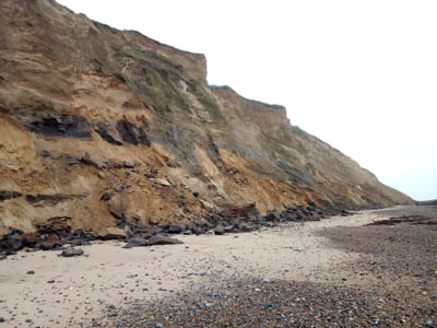
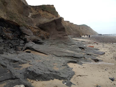
| The cliffs below Beeston Hill. | Beeston Regis 10.1.2019 |
 IMG_20190110_110252.jpg |
| The cliffs below the Beeston Regis Holiday Park. | Beeston Regis 52°56'34.73"N, 1°13'58.15"E 10.1.2019 |
 IMG_20190110_105213.jpg |
| The cliffs below the Beeston Hill. | Beeston Regis 52°56'36.51"N, 1°13'42.47"E 3.10.2010 |
 DSCF5857.jpg |
Geological section below Beeston Hill
I find it fascinating that beneath the iconic Beeston Hill there is evidence that a lake existed on the same spot. A hill, plonked ontop of a lake, by an ice sheet! Beneath the lake bed sediments we see marine deposits. So in the one small section we seen evidence of astonishing environmental change; changing climate; changing sea level; different topographies and different plants and wildlife to match. The evidence is all there and the science of geology exists to study and interpret the strata to construct the story of the Earth through time.
Martin Warren, The Northfolk Project
4.12.2022